Industries
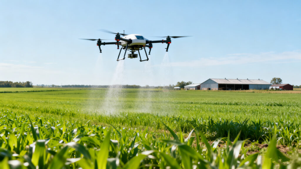
Agricultural
Smart Farming, Powered by the Sky.
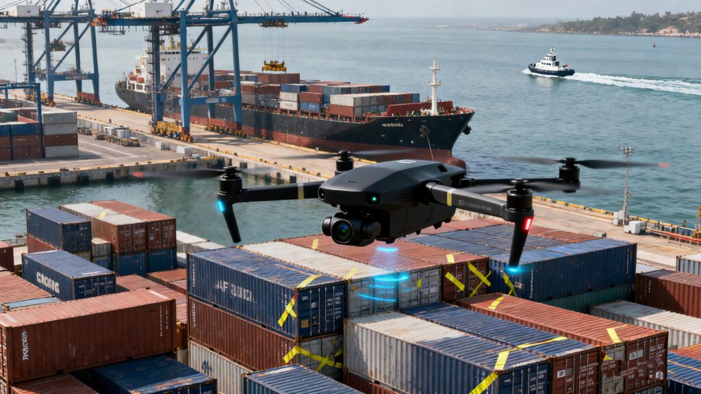
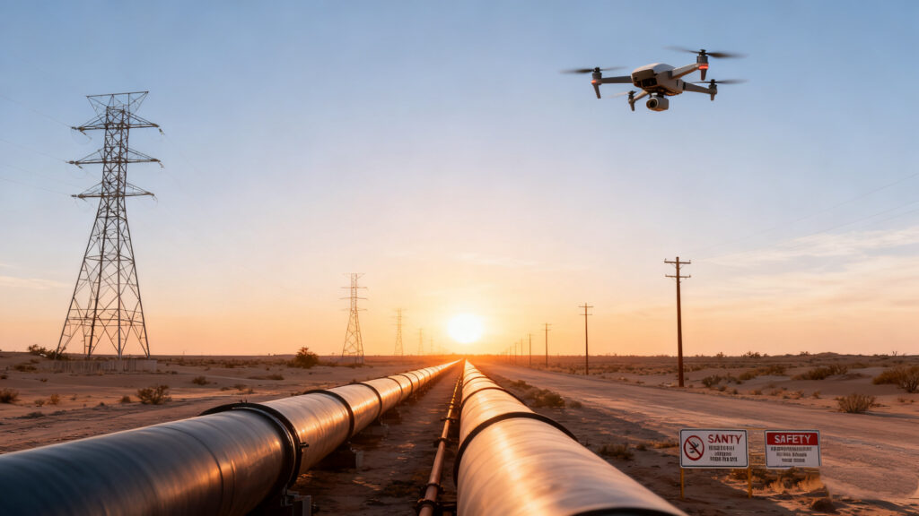
Industrial Monitoring
Industrial Vision: Defects Have Nowhere to Hide.
photography
Fly Your Vision. Capture Your Reality.
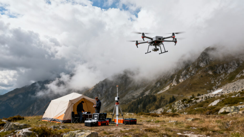
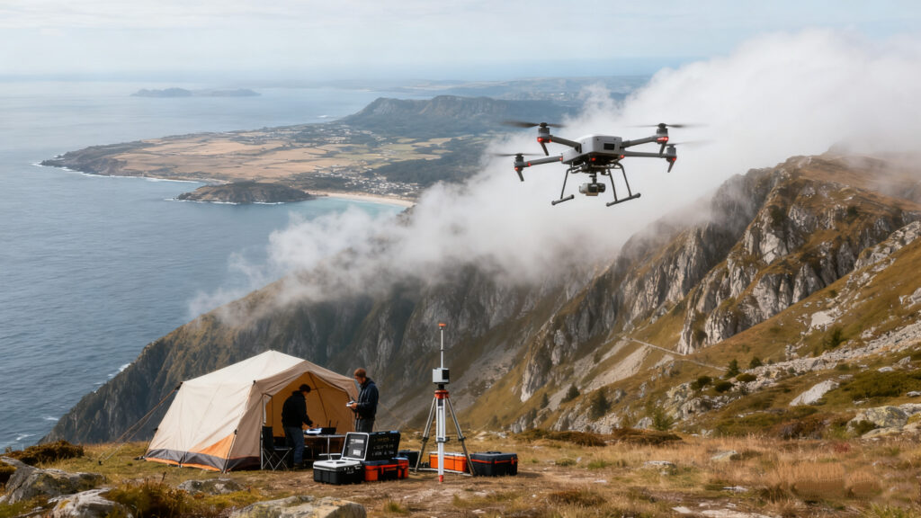
Surveying and Mapping
Precision Mapping, Efficiency Revolution.
Industries Applications
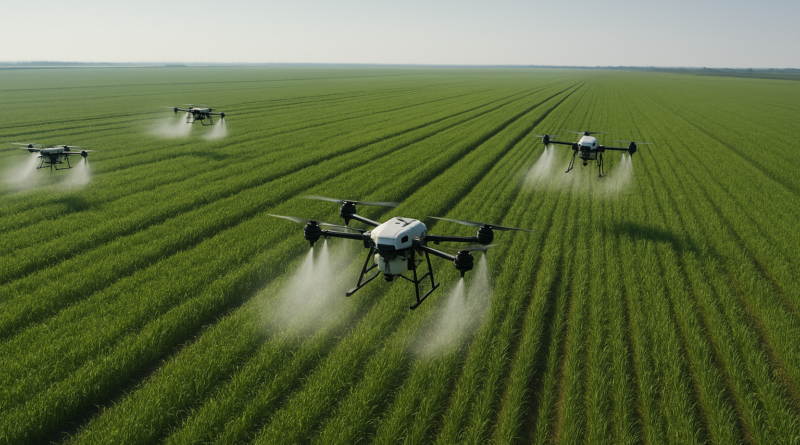
Our solution deeply integrates digital technology with agricultural science to provide precise, intelligent management for staple crops like rice, wheat, and corn throughout their entire growth cycle. It is designed to help farm operators lower costs and boost productivity, significantly reducing operational expenses while effectively increasing crop yield and quality.
We also offer tailored digital, information-based, intelligent, and precise management solutions covering the entire cycle from “planting-growth-harvesting-quality control” for high-value cash crops such as cotton, citrus, apples, and tea plants, each with distinct growth characteristics. Unlike the large-scale cultivation needs of staple food crops, these solutions are designed with specialized functions that address the core growth challenges of economic crops.
Industrial Monitoring
Our smart inspection drones give you clear aerial views of your assets. This allows us to spot equipment problems and security gaps early. Using remote voice alerts, we can supervise work standards and make sure maintenance tasks are done quickly and correctly on site.
Traffic Management
Leveraging rapid deployment and a superior aerial viewpoint, we efficiently secure evidence from accidents and violations, delivering critical data for traffic flow optimization and liability assessment.
Film & TV Production
Execute complex aerial shots with reduced costs and enhanced efficiency.
Advertising & Promotional Videos
Create compelling corporate and city promotions with cinematic aerial visuals.
News & Sports Broadcasting
Track athletes smoothly and cover breaking news with comprehensive overhead footage.
Topographic Mapping
UAVs efficiently capture terrain data and generate high-precision DEMs and 3D models, supporting large-scale mapping, smart city development, and disaster assessment.
Infrastructure Planning
UAVs provide complete geospatial services for infrastructure projects. Their rapid 3D modeling enables earthwork calculation, progress tracking, and deformation monitoring – boosting efficiency while cutting survey costs and risks.